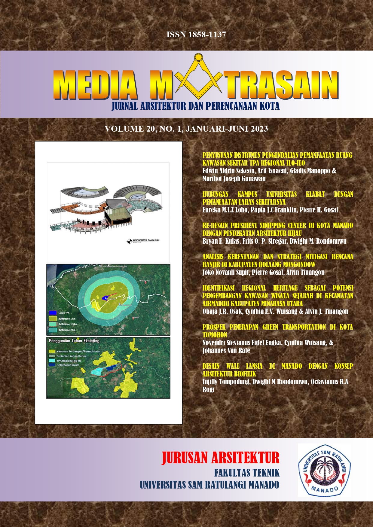
ANALISIS KERENTANAN DAN STRATEGI MITIGASI BENCANA BANJIR DI KABUPATEN BOLAANG MONGONDOW
DOI:
https://doi.org/10.35793/matrasain.v20i1.52660Abstract
ABSTRAK
Intensitas hujan yang tinggi dan juga wilayah ini berada di dataran rendah menyebabkan bahwa sungai di tiap kecamatan meluap. Akibatnya permukiman warga terendam banjir serta merusak rumah warga hingga beberapa fasilitas desa dan juga pernah memakan korban jiwa. Daerah dumoga terdapat sumber penghidupan masyarakat yaitu tambang rakyat, itu adalah alasan mengapa masyarakat setempat masih ingin bermukim di daerah rentan banjir. Dalam penelitian ini, peneliti mengidentifikasi tingkat kerentanan bencana banjir yang berlokasi di kabupaten bolaang mongondow, Dan juga peneliti merekomendasikan strategi mitigasi bencana banjir dari aspek kerentanan yang berlokasi di kabupaten bolaang mongondow. Metode yang digunakan dalam penelitian ini adalah metode deskriptif kuantitatif. Penelitian ini menggunakan teknik analisis skoring dan overlay, berdasarkan beberapa variabel yaitu variabel lingkungan, fisik, sosial dan eknomi yang masingmasing terdapat indikator. Setelah mendapatkan hasil dari tiap variabel berdasarkan indikatorindikator, dengan menggunakan rumus yang ada maka hasil dari kerentanan total terdapat tiga tingkat kerentanan yaitu rendah, sedang, tinggi. Kerentanan tinggi terdapat 5 kecamatan, kerentanan sedang terdapat 1 kecamatan dan kerentanan rendah terdapat 6 kecamatan.
Kata Kunci : Kerentanan Bencana Banjir, Mitigasi Bencana Banjir, Bolaang Mongondow.
ABSTRACT
The high intensity of rain and also that this area is in the lowlands causes the rivers in each subdistrict to overflow. As a result, residents' settlements were flooded and damaged residents' homes to several village facilities and also claimed lives. The dumoga area has a source of livelihood for the community, namely people's mining, which is the reason why local people still want to live in floodprone areas. In this study, researchers identified the level of vulnerability to floods located in Bolaang Mongondow district and also recommended flood disaster mitigation strategies from the aspect of vulnerability located in Bolaang Mongondow district. The method used in this research is a quantitative descriptive method. This study uses scoring and overlay analysis techniques, based on several variables, namely environmental, physical, social, and economic variables, each of which has indicators. After getting the results of each variable based on the indicators, using the existing formula, the results of the total vulnerability are three levels of vulnerability, namely low, medium and high. There are 5 districts with high vulnerability, 1 district with medium vulnerability, and 6 districts with low vulnerability.
Keywords: Flood Disaster Vulnerability, Flood Disaster Mitigation, Bolaang Mongondow