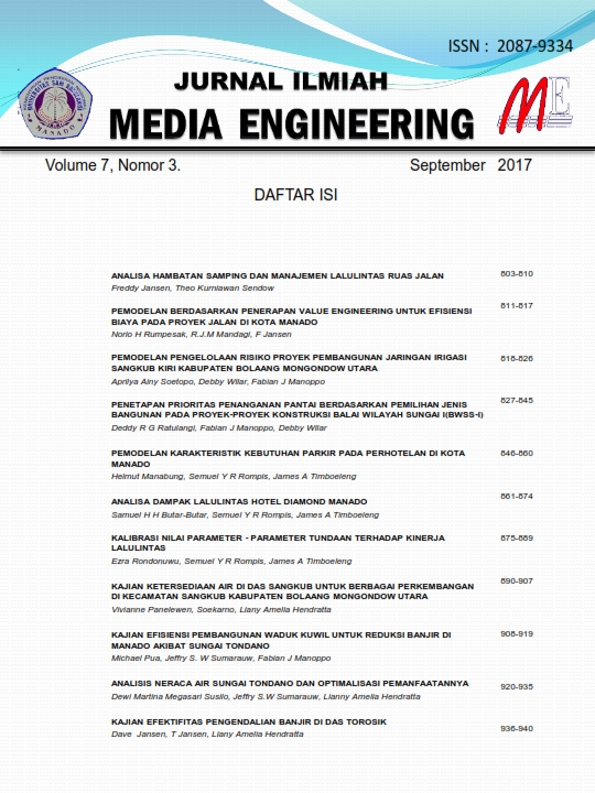
Kajian Ketersediaan Air di DAS Sangkub Untuk Berbagai Perkembangan Di Kecamatan Sangkub Kabupaten Bolaang Mongondow Utara
Abstract
The utilization of water resources as material for the provision of raw water and for the provision of clean water were continues to increase from year to year in line with the development of population, industrial development and the development of settlements within a region.Sangkub Sub-district is one of the developing sub-districts in North Bolaang Mongondow District, among others irrigation areas (DI) which continue to develop for the former land of forests, plantation of fields, all the land as potential land, now had turned into functional areas, such as rice fields, fishery and livestock, where formerly this areas are or in the form of forest, now has turned into transmigration settlement area, where lands originally in the form of plantation and now had turned into urban settlement area. The initial activities of the community which originally farm coconut plantations, cultivate intercropping and as fishermen then now tend to move towards the industry, such as making rice mill, and various home industry activities, the people used shallow water nowadays people tend to consume clean water from District’s Clean Water Company (PDAM) and the like.Considering the development of population, changes in community activity and the development of the city of Sangkub Sub-district, it can be expected that for the future water needs, both the needs of raw water and water needs for the provision of clean water in the District Sangkub will increase. The reliable water source in Sangkub Sub-district is Sangkub Watershed.. It is expected that in the future Sangkub Watershed will be the source of raw water supply and water supply in Sangkub sub-district. Realizing that the availability of water is determined by the climate / weather in Sangkub Subdistrict, when is the rainy season and when the dry season, then how big is the cumulative depth of rain falling in the Sangkub watershed?. Therefore it is expected from the results of this study can be used as a guide for further research in order to maintain the preservation of water availability in the Sangkub watershed.
The aims of this study is to assess the availability of water resources as a material in the Sangkub watershed by calculating the availability of water (reliable waterfall) and then analyzing the water needs for various purposes at present and future water needs. Â
In completing this study thoroughly, it requires several stages of analysis of available data. The data used include secondary data, as follows: 1). Daily rainfall data from 2008 to 2016. 2). Watershed Map of Sangkub and river network. 3). Land use maps are used to determine land use in the study area. 4). The rain station data is the location of the rain station administration and the coordinates of the rain station. Data processing: 1). The average monthly rainfall data from the three rainfall observation stations will be processed into discharge data by the NRECA method. 2). Calibrate the value of debit calculation results with the value of the observation debit. 3). Calculate the mainstay debit with Weibull method. 4). Calculating the availability of water in the Sangkub watershed. 5). Calculating the water requirement on the Sangkub Watershed for various purposes. The mainstream debit is obtained by sorting the monthly debit from a large sequence of small-scale accuracy and can be calculated by the formula (Standart irrigation planning).
Based on the analysis and data calculation results, it could be concluded as follows: Water availability in Sangkub watershed; January; 17,4826m³ / s. February; 11,0556 m³ / s. , March; 10.9789 m³ / s. , April; 10,2648 m³ / s. , in May; 9'4232 m³ / s. , June; 7.7551 m³ / s. , July; 7.7551 m³ / s. , August; 6,4390 m³ / s. , September ; 5,5245 m³ / s. , October ; 6,4959 m³ / s. , November; 6,9829 m³ / s. , December; 13,1474 m³ / s. At the main discharge conditions 80% water use is prioritized for the needs of the population (domestic and non-domestic purposes). The calculation of water use for Irrigation is not predicted to increase in this study considering the minimum availability of water from the analysis, so it can no longer extend the functional area (± 1300 ha) that already exist.
Keywords: Water Balance ,irrigation area, watershed, NRECA method, Weibull method, debit
Downloads
Published
Issue
Section
License
Copyright (c) 2019 Vivienne Panelewen, Soekarno Soekarno, Liany Amelia Hendratta

This work is licensed under a Creative Commons Attribution-ShareAlike 4.0 International License.
- I declare that this paper ... (title of paper) ... is original and has not been published previously nor under consideration to be published elsewhere and that any necessary permission to quote from another source has been obtained.
- With the publication, I transfer the copyright to The Jurnal Ilmiah Media Engineering (PTSU-OJS). This copyright transfer shall cover the exclusive right to reproduce and distribute the article, including reprint, photographic reproduction of similar nature and translation. It shall also include the right to adapt the article for use in conjunction with computer system and programs including reproduction or publication in machine-readable form and incorporation in retrieval systems.
Author (also on behalf of any co-authors):
Signed
____________________Â
Name :
Date :


